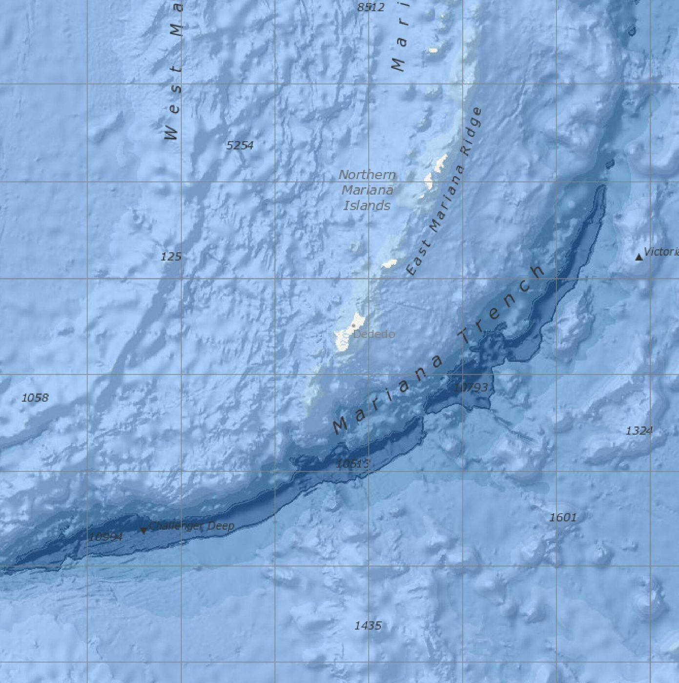
A 100-km stretch of the San Andreas Fault slides past itself over 30 mm every year — silently, without a single earthquake.
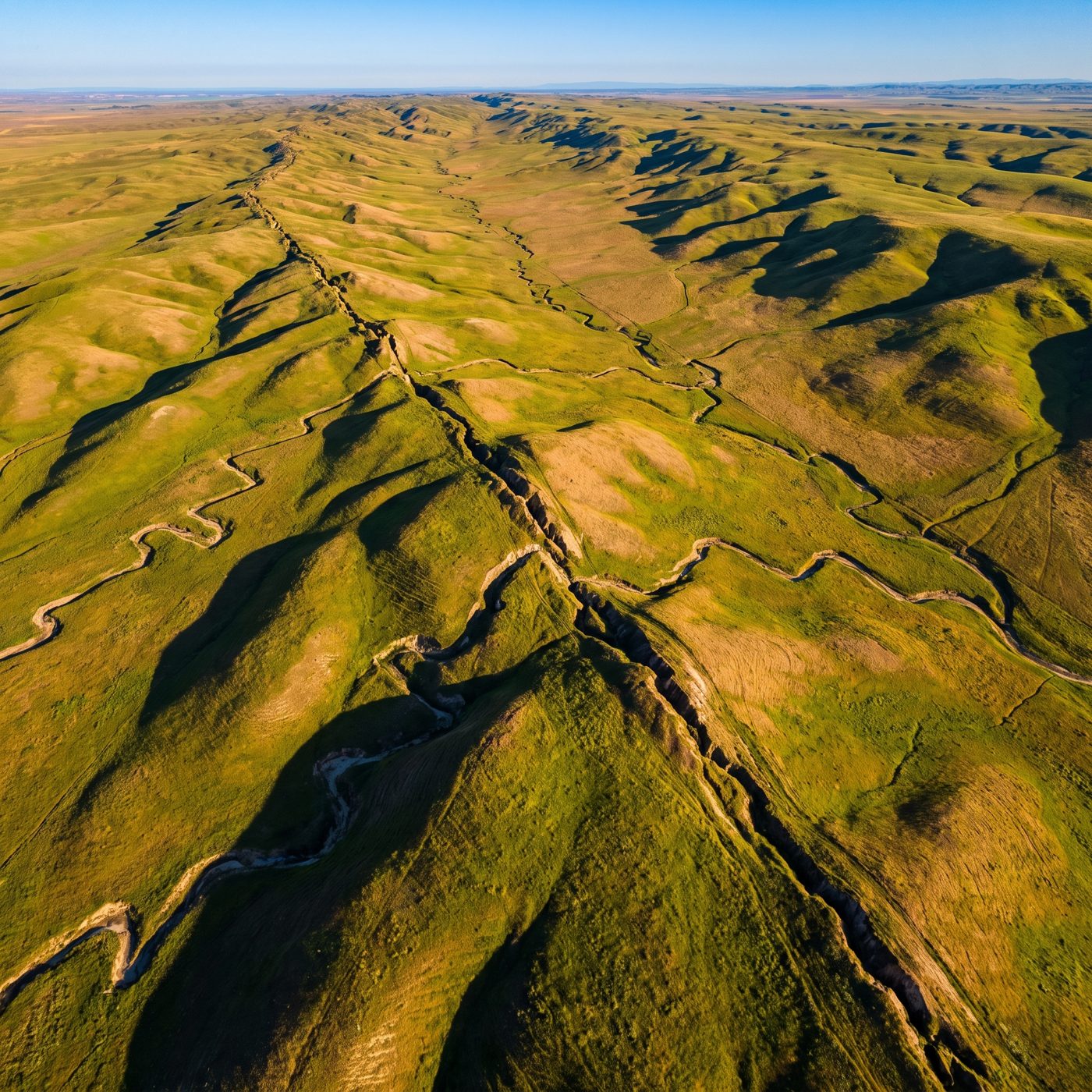 ILLUSTRATION · AI
Along about 100 kilometers of the Central San Andreas Fault, the two sides slide past each other faster than 30 millimeters a year without ever producing an earthquake.
There is a stretch of the San Andreas Fault where the ground moves — steadily, quietly, more than 30 millimeters every year — and no one ever feels it. No shaking. No warning sirens. Just two vast slabs of California grinding past one another at roughly the pace your fingernails grow, day after day, decade after decade. This is the fault's central creeping section, and it behaves almost nothing like the parts of the San Andreas that make headlines.
The measurement that pinned down just how fast comes from Chelsea Scott, Stephen DeLong, and J Ramón Arrowsmith, whose USGS-authored study appeared in Geophysical Research Letters in 2020. Their method was elegant: fly the same terrain twice with airborne lidar — laser altimetry that maps the ground surface in fine detail — once in 2005 and 2007, again in 2018, then subtract one three-dimensional surface from the other. Where the fault had crept, the two point clouds no longer lined up, and the mismatch was the slip.
How you measure a fault that never quakes
What the differencing showed was a clear pattern along the creeping section, which runs about 140 kilometers from Parkfield in the south to San Juan Bautista in the north. Rates climbed above 30 millimeters per year along the central roughly 100 kilometers of that stretch, then tapered to less than 10 millimeters per year toward the section's two ends. The single fastest spot they found was near Bitterwater, where the surface was pulling apart at more than 30 millimeters annually.
Here's the twist that matters for the record: those lidar numbers ran 3 to 8 millimeters per year *higher* than most of the rates measured by the older tools — alignment arrays and creepmeters, the ground-based instruments geologists have used for decades to track slip at single points. The lidar didn't just confirm the creep. It suggested the creep may be a touch faster than the point instruments had been telling us, likely because a wide airborne scan catches deformation spread across a broader zone than a single creepmeter straddling one crack.
The broad picture, at least, is old and well established. Sandra Schulz and colleagues at the USGS reported in 1979 that the maximum creep rate between San Juan Bautista and Gold Hill "exceeds 30 mm/yr," while rates elsewhere were "generally less than 10 mm/yr." Forty years later, laser-mapped topography arrived at the same ballpark from an entirely independent direction.
Why this stretch is the exception, not the rule
What makes the creeping section so striking is that it is atypical of the San Andreas as a whole. The segments flanking it are locked — they store strain rather than release it gradually. To the south lies the ground that ruptured in the 1857 Fort Tejon earthquake, roughly magnitude 7.9. To the north lies the segment that produced the 1906 San Francisco earthquake, also about magnitude 7.9. Those locked sections do not creep at all. They sit still for centuries and then move meters in seconds.
The vivid contrast is this: on the creeping section, curbs slowly shear apart, fences bend, and a winery's concrete floor near Hollister has famously buckled as the fault walks beneath it — all without a jolt. A few dozen kilometers away, the same fault holds its breath.
What's still open to argue is what the creep actually *buys* California. Aseismic slip on the central section releases strain harmlessly — but geologists still debate whether creep genuinely lowers the odds of a great earthquake there, or whether it merely postpones a reckoning by loading the locked segments at either end. The ground keeps moving 30 millimeters a year, and it isn't yet telling us which.
More facts
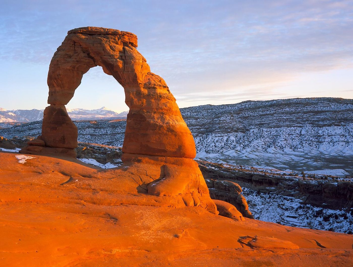
Arches National Park in Utah has over 2,000 documented natural stone arches, from sliver-thin cracks to spans greater than 300 feet, the National Park Service says.
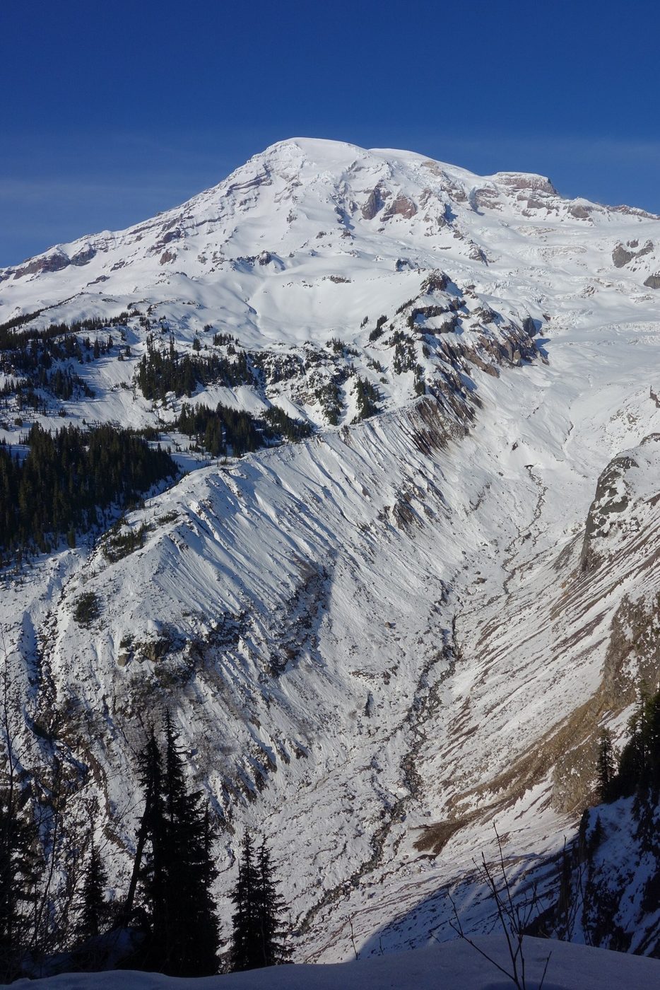
Mount Rainier carries 28 major glaciers. Together with its smaller snow and ice patches, they cover about 30 square miles and feed five major river systems.