Near El Nido, California, the ground itself sank 10.6 inches in a single year — one of the fastest land collapses ever measured in the San Joaquin Valley.
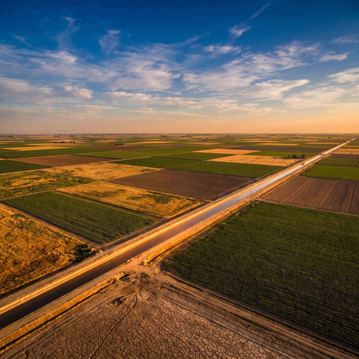 ILLUSTRATION · AI
A USGS radar study found the ground near El Nido, California, sank about 270 millimeters — roughly 10.6 inches — in a single year during 2008–2010, among the fastest subsidence rates ever measured in the San Joaquin Valley.
Near the small farming community of El Nido, in California's San Joaquin Valley, the land itself dropped nearly a foot in a year. Not in an earthquake, not over a millennium — but steadily, quietly, at a rate of about 270 millimeters (10.6 inches) per year between 2008 and 2010. That figure comes from USGS hydrologists Michele Sneed and Justin Brandt, whose 2015 paper flatly called it "among the largest rates ever measured in the San Joaquin Valley."
The cause is not exotic. It is water — or rather, the absence of it. When farmers and towns pump groundwater faster than rain and snowmelt can replace it, the clay-rich sediments below the surface lose the water that had been holding their grains apart. The clay compacts. And unlike a sponge, much of that compaction is permanent: the pore space collapses and never fully reopens, even if the aquifer is later refilled. The ground above simply follows the sediments down.
How USGS measured a foot of sinking ground
You cannot see 10.6 inches a year by standing in a field. Sneed and Brandt used InSAR — Interferometric Synthetic Aperture Radar — which compares radar images of the same ground taken by satellites on different passes. By measuring the phase difference in the returning radar waves, InSAR can detect vertical shifts in the land surface down to the centimeter scale across hundreds of square miles at once. Where older surveys relied on scattered benchmarks and GPS stations, InSAR maps the whole subsiding "bowl" as a continuous surface.
Their 2015 study, published in the peer-reviewed *Proceedings of IAHS* and archived in the USGS Publications Warehouse, covered subsidence across the valley from 2007 to 2014. Among all the sinking basins they mapped, the El Nido area registered the peak: that 270 mm/yr maximum during the 2008–2010 window. A later USGS media page describing the El Nido bowl put it in plain terms — the ground was dropping "nearly 1 foot a year," a rate the agency again ranked "among the highest ever measured" in the valley.
The timing is not a coincidence. The 2008–2010 window overlaps a severe drought, when surface water deliveries were cut and irrigators leaned harder on wells. Less water flowing in canals means more water hauled up from underground, which means more compaction, which means faster sinking.
Why sinking ground matters beyond the number
The vivid detail here is not a crater but an infrastructure problem. As the land drops unevenly, it warps the things built to run flat. Canals that were engineered to carry water gently downhill lose their slope; the Delta-Mendota Canal and the California Aqueduct have both lost carrying capacity where the ground beneath them sagged. Bridges, well casings, and roads crack. A well casing can even be crushed or bent as the sediment column shortens around it — the earth quite literally squeezing the pipe that drew the water out.
Subsidence in the San Joaquin Valley is an old story with a new chapter. In the mid-20th century, parts of the valley near Mendota dropped nearly 30 feet total before groundwater management slowed the decline. The El Nido measurement showed that when the pumping returns, so does the sinking — faster than almost anyone had recorded.
What remains open to argue is how much of it can be undone. Elastic compaction — the reversible kind — rebounds when aquifers refill. The permanent, inelastic kind does not. How much of the lost storage capacity beneath El Nido is gone for good, and how much California's 2014 Sustainable Groundwater Management Act can actually halt the sinking, is a question the next decade of radar passes will answer.
More facts
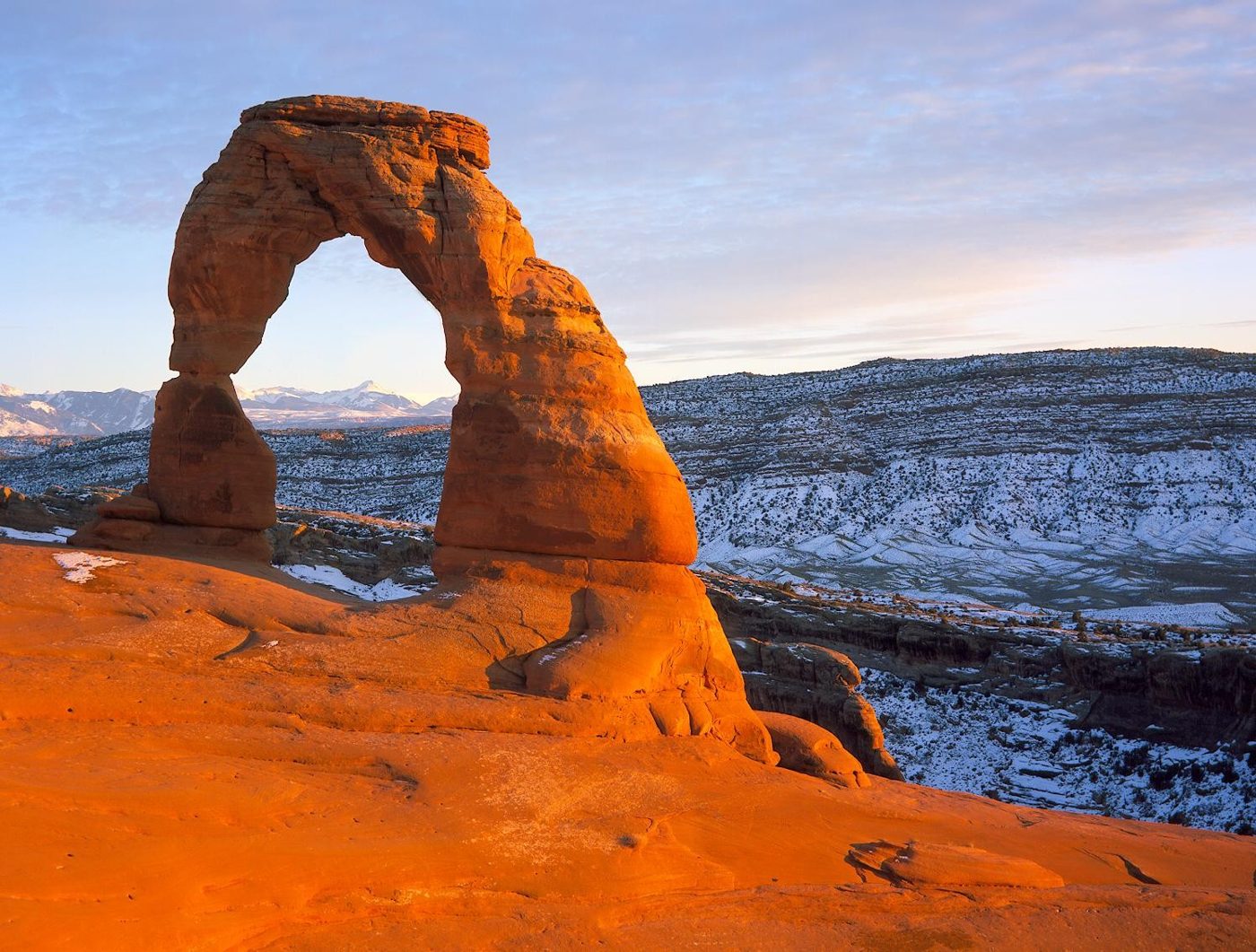
Arches National Park in Utah has over 2,000 documented natural stone arches, from sliver-thin cracks to spans greater than 300 feet, the National Park Service says.
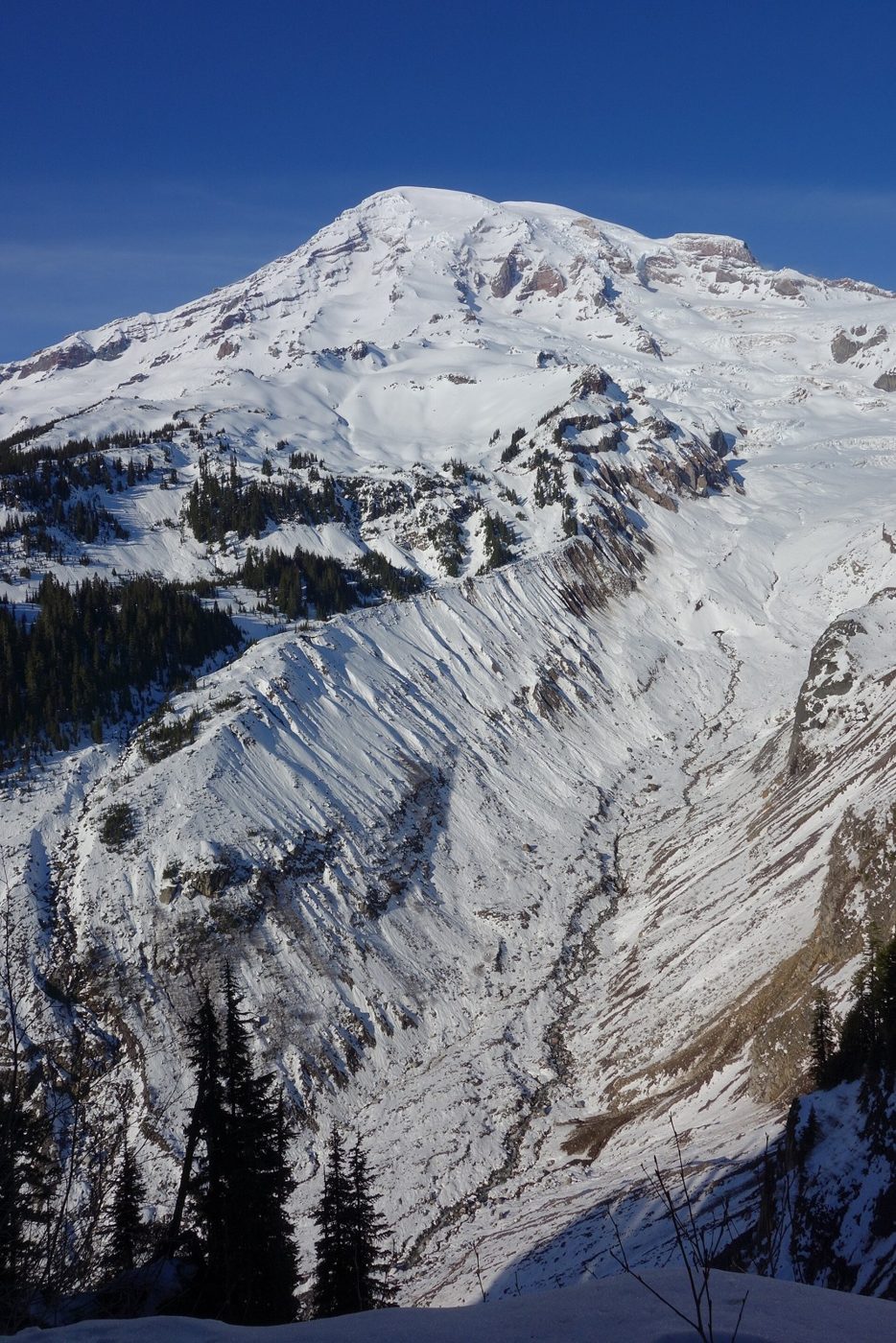
Mount Rainier carries 28 major glaciers. Together with its smaller snow and ice patches, they cover about 30 square miles and feed five major river systems.