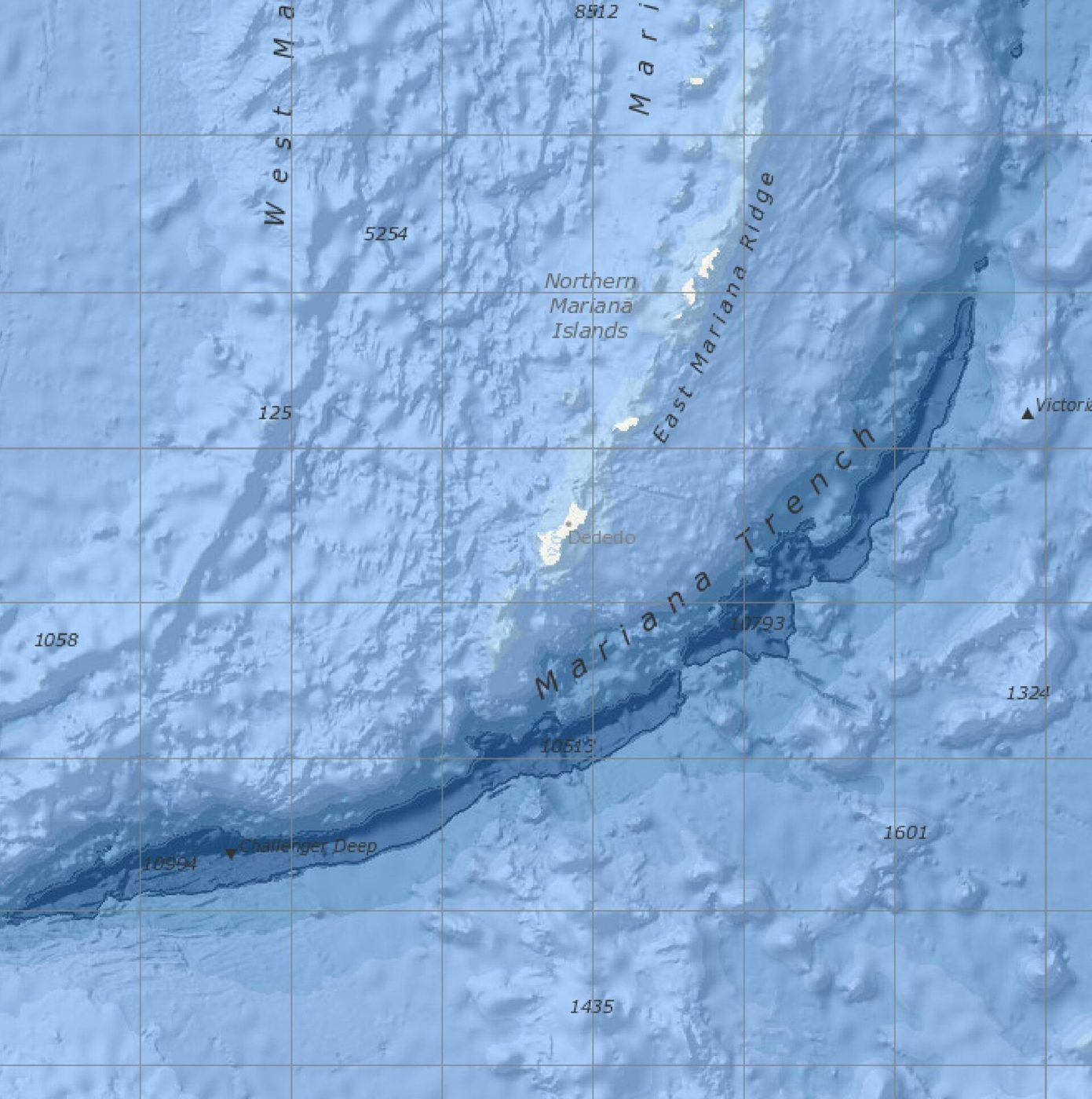
The Great Barrier Reef runs 2,300 km — the same distance as the entire US west coast, from Vancouver all the way down to the Mexican border.
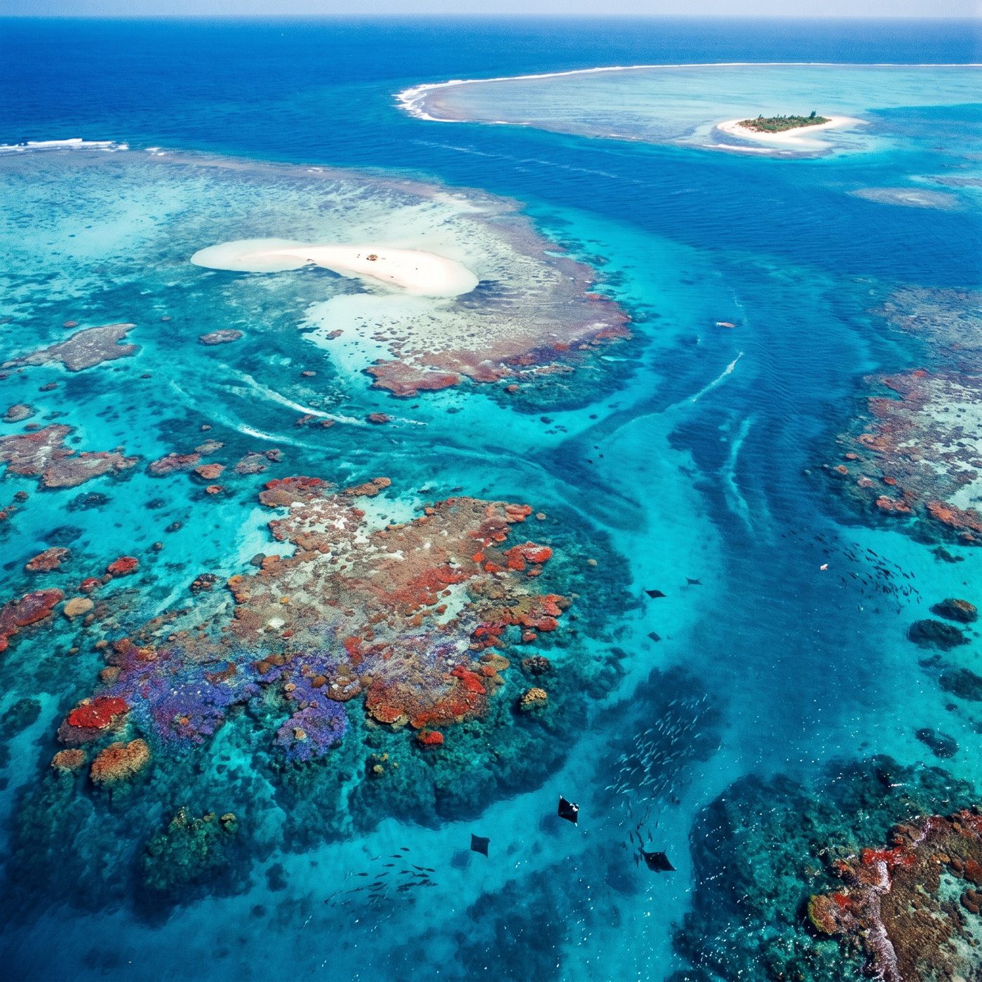 ILLUSTRATION · AI
The Great Barrier Reef Marine Park stretches about 2,300 km along Queensland's coast — a span its managing authority likens to the entire US west coast, from Vancouver down to the Mexican border.
Stand anywhere on the Queensland coast and the reef in front of you is one small piece of something that runs roughly 2,300 kilometers north to south. That is the figure the Great Barrier Reef Marine Park Authority — the Australian Government body that manages the site — publishes in its "Fascinating facts about the Great Barrier Reef." To make the number land for readers who have never seen it, the Authority reaches for a familiar shape: about the same length, it says, as the west coast of the United States, from Vancouver all the way down to the Mexican border.
The length is not a rounding flourish. Australia's National Museum, in its own overview of the Marine Park, gives the same 2,300 km and adds the area — 344,400 square kilometers, larger than Italy. So the number is corroborated across independent Australian institutions, not just repeated from a single brochure.
Why the numbers don't always match
If you go looking, you will find a smaller figure attached to the same reef. UNESCO's World Heritage Centre, which listed the Great Barrier Reef in 1981, describes it as extending about 2,000 km along the Queensland coast. That is not a contradiction so much as a choice about what you are measuring and how hard you round.
The Marine Park is a legally drawn management zone, and its boundaries do not trace the coastline like a taut string. They step out to sea, follow the continental shelf, and run past thousands of individual reefs and hundreds of islands. Measure the along-coast extent of the protected area and you get roughly 2,300 km. Round the reef system itself and 2,000 km is a defensible summary. The reef is a real, physical thing; "how long is it" is partly a question about where you decide it starts and stops.
The comparison to the American west coast belongs in the same category. It is GBRMPA's own illustrative analogy — a way to convert an abstract number into a mental image — not an independently surveyed geographic equivalence. A straight-line air distance from Vancouver to the Mexican border near Tijuana is closer to 1,900 km. Follow the actual, crenelated Pacific coastline and you pick up far more distance in every bay and headland. The analogy is meant to make you feel the scale, and it does that honestly, as long as you read it as a picture rather than a measurement.
How we know it's really that big
The scale is not just charted; it is visible from orbit. The Great Barrier Reef is often cited as the largest structure on Earth built by living organisms — a mosaic of some 3,000 individual reefs assembled by generations of coral polyps, each animal a few millimeters across. What looks on a map like a single ribbon is in fact billions of tiny calcium-carbonate skeletons stacked over thousands of years, and the whole assembly is large enough to register as a distinct feature in satellite imagery.
That is the vivid part: an object big enough to compare to a continental coastline, made entirely by creatures you could balance on a fingertip.
The seam
What remains genuinely open is not the reef's length but its future extent. The 2,300 km describes a boundary line. It does not tell you how much living coral sits inside that line, and that figure has been moving. The Australian Institute of Marine Science has tracked repeated mass-bleaching events across the reef in recent years, driven by marine heatwaves, and coral cover rises and falls between surveys as reefs bleach and slowly recover.
So the map stays the same size while the thing it contains does not. The 2,300 km is settled. How much reef will still be alive along that span in fifty years is the number nobody can verify yet.
More facts
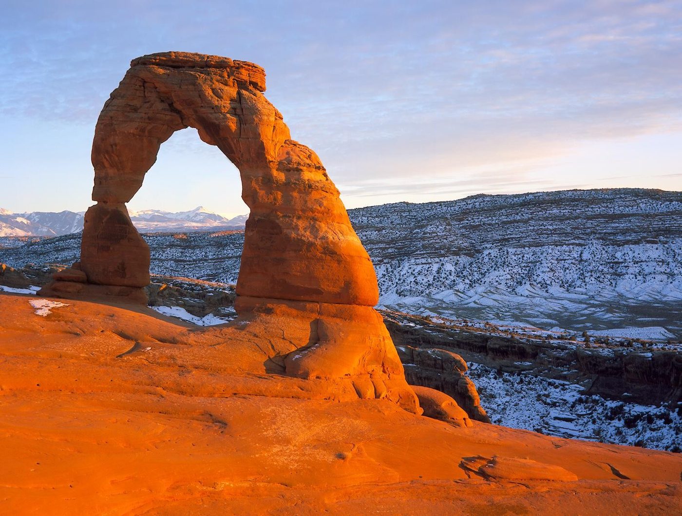
Arches National Park in Utah has over 2,000 documented natural stone arches, from sliver-thin cracks to spans greater than 300 feet, the National Park Service says.
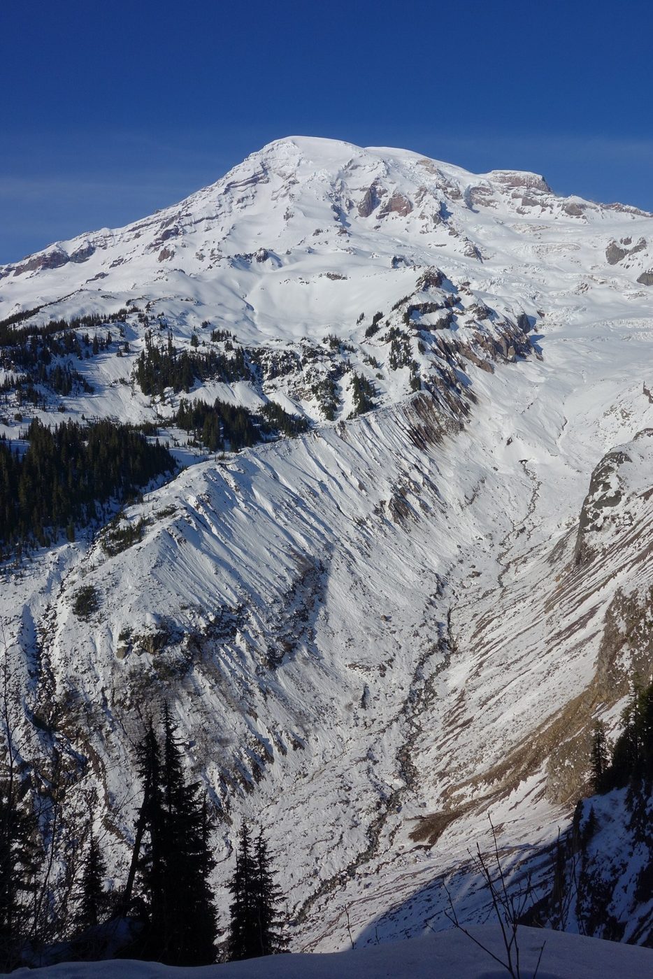
Mount Rainier carries 28 major glaciers. Together with its smaller snow and ice patches, they cover about 30 square miles and feed five major river systems.